Subscribe: Apple Podcasts | Podbean | Spotify | iHeart Radio | Google Podcasts | Pandora | TuneIn
🌄 This was our last sunset at Death Valley National Park. We watched it from the Dante`s View and the landscape below almost looked like a frozen lake.
It`s actually the remnants of Lake Manly, a lake that forms occasionally after heavy rains. A hurricane hit the area last August and flooded the valley.
You can see the Badwater Basin salt flats, formed from centuries of water pooling and evaporating under the harsh desert sun. These salt deposits create a mirror-like surface that reflects the fiery sunset skies above.
Farewell, Death Valley, we will be back. 🧡
#DeathValley #DantesView #SunsetVibes #NatureLovers #TravelMoments #LakeManly #BadwaterBasin

An easy road trip close to Yuma, AZ, Picacho Road is a gateway to numerous trails and outdoor activities. Its 17.6 miles of gravel and sand span several land agencies, including the Fort Yuma Quechan Indian Tribal land, El Centro BLM, California State Recreation Area, and private mining property, all while showing off the Picacho Peak monolith in the distance.
Most of the route is on BLM land, offering dozens of spur roads, abundant camping opportunities, and hiking trails. The southern half is mostly desert terrain on maintained gravel, while the northern portion is more rocky and rugged, with several miles of loose gravel and sandy washes cutting through small canyons. The road ends at Picacho State Park, where there is a fee to enter, whether day use or camping. There aren`t any obstacles or difficult sections that 2WD can`t handle.
Remnants of old and current mining activity, including the Picacho Mine Cemetery, are found throughout this area.
Another popular destination in this area is Valley of the Names, where visitors have created thousands of rock displays on the desert floor for over 70 years.

📍The Steps in Lake Havasu, Arizona
There are definitely more than three reasons to stay here, but these are what attracted us:
Close proximity to Lake Havasu City and Parker
The secluded feel - you can be as close or far away from your neighbors as you want!
There are TONS of off-road trails in the area
The lower area is flatter, more wide open, and easier for the biggest of rigs. As you go higher into the terraces, it gets more rocky.
*Note - This is Arizona State Trust land, which requires an inexpensive permit that can be purchased online.

We started our full-time RV lifestyle in January 2019. Every day is a blessing, and another day we can’t believe we get to live this wonderful lifestyle. The second best thing we did was buy a Jeep. The adventures are now off the beaten path with non-stop breathtaking views. We would love for you to join us on our journey as we share through our podcasts, blog posts, and videos. You will find information on campgrounds, National Parks, Jeep trails, homeschool, off-the-beaten-path adventures, and so much more.
The latest on the blog
Breakdowns to Breakthroughs: Challenges on the road
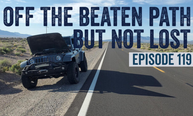
This week in the podcast, we break down (pun intended) our latest adventure. The story starts with a simple trip to fetch milk and gas and ends with us driving 400+ miles back to Yuma, Arizona.
Read MoreNeon Dreams: Kylie's 11th Birthday Bash in Vegas
We celebrated Kylie’s 11th birthday with a neon-lit journey through Las Vegas. In Episode 118, we give you all the details about the party and Las Vegas with a family.
Read MoreGetting ready for our Canada adventure
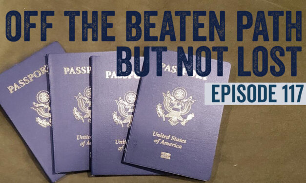
Join us on our upcoming Canadian adventure! From passport preparations to planning visits to breathtaking national parks.
Read MoreHomeschooling on the Road: New Adventures in Learning
In our latest podcast episode, we update you on our homeschooling journey. We had a podcast on this topic in 2022, but a lot has changed—Kylie is now in 6th grade, and Lexie is in 4th grade.
Read MoreFamily Adventures in the Grand Canyon State
oin our family's journey through Arizona, from the Grand Canyon's grandeur to Sedona's mystical red rocks. Discover our favorite spots and bucket list gems in the heart of Arizona.
Read MoreAdventures & Homeschooling on Wheels: Your Top 10 Questions About Full-Time RV Living with Kids Answered
Join The Faiolas on their RV journey, sharing insights on homeschooling, safety, and family adventures in nature. Learn how they balance travel, education, and connection in their unique lifestyle.
Read MoreThunderstorms, Lake Havasu Adventures, and Howling at the Moon
In this episode, we're sharing updates from a crazy thunderstorm and unexpected flooding to our adventures at Lake Havasu. We also talk about our second Howling at the Moon event. Join us for episode 114.
Read MoreOn the road with The Mad Nomads: Family, freedom, and RVing adventures
Join us as we learn about Rob & Angie's world of full-time RVing, their thrilling adventures, cherished memories, and the unique experience of RVing with a teenager.
Read MoreLife beyond RVing with The Faiolas
Explore the Faiolas' Life Beyond RVing: untold stories, diverse tastes in movies, TV, music, and books that inspire our travels and define our family life.
Read More
NUMBERS, CHECKLISTS & OTHER ODD STATS
We are keeping track of tons of information about our journey. We have compiled these into an interactive page that allows you to see each state's stats by clicking on a map.
Find us on social media
🌄 This was our last sunset at Death Valley National Park. We watched it from the Dante's View and the landscape below almost looked like a frozen lake.
It's actually the remnants of Lake Manly, a lake that forms occasionally after heavy rains. A hurricane hit the area last ...August and flooded the valley.
You can see the Badwater Basin salt flats, formed from centuries of water pooling and evaporating under the harsh desert sun. These salt deposits create a mirror-like surface that reflects the fiery sunset skies above.
Farewell, Death Valley, we will be back. 🧡
#DeathValley #DantesView #SunsetVibes #NatureLovers #TravelMoments #LakeManly #BadwaterBasin
An easy road trip close to Yuma, AZ, Picacho Road is a gateway to numerous trails and outdoor activities. Its 17.6 miles of gravel and sand span several land agencies, including the Fort Yuma Quechan Indian Tribal land, El Centro BLM, California State Recreation Area, and private mining property, ...all while showing off the Picacho Peak monolith in the distance.
Most of the route is on BLM land, offering dozens of spur roads, abundant camping opportunities, and hiking trails. The southern half is mostly desert terrain on maintained gravel, while the northern portion is more rocky and rugged, with several miles of loose gravel and sandy washes cutting through small canyons. The road ends at Picacho State Park, where there is a fee to enter, whether day use or camping. There aren't any obstacles or difficult sections that 2WD can't handle.
Remnants of old and current mining activity, including the Picacho Mine Cemetery, are found throughout this area.
Another popular destination in this area is Valley of the Names, where visitors have created thousands of rock displays on the desert floor for over 70 years.
We came back to the HOTTEST (literally) spot in the country 🤦♂️
Thankfully it's temporary!
📍The Steps in Lake Havasu, Arizona
There are definitely more than three reasons to stay here, but these are what attracted us:
Close proximity to Lake Havasu City and Parker
The secluded feel - you can be as close or far away from your neighbors as you want!
...There are TONS of off-road trails in the area
The lower area is flatter, more wide open, and easier for the biggest of rigs. As you go higher into the terraces, it gets more rocky.
*Note - This is Arizona State Trust land, which requires an inexpensive permit that can be purchased online.
In the desert of California, this unique landscape is filled with thousands of rocks artfully arranged to spell names, messages, and designs. Each arrangement tells a story of visitors past.
The Valley of Names is located near the city of Yuma, Arizona, although it's just across the ...border in California.
The history dates back to World War II. Initially, it was used as a training ground for General George S. Patton’s troops. The Desert Training Center used to prepare soldiers for North African combat. Soldiers stationed there began the tradition by arranging stones to spell out their names, units, or hometowns as a way to leave behind a personal mark in an otherwise barren landscape.
Over the decades, this practice evolved and expanded, attracting not only veterans and their families returning to see the names left behind but also visitors from all over. These visitors added their own names, messages, and elaborate rock designs, expanding this makeshift monument into an extensive outdoor gallery. The site now contains over a million names and covers a large area.
Do you think leaving marks is important for preserving our history, or should we focus on leaving places untouched?
If you're planning an RV trip to the east side of Death Valley National Park, don't sleep on this awesome boondocking spot called "The Pads". At this abandoned mining camp, there are concrete pads scattered over several acres, which some people park on or park next to for a ...patio area.
It's only a 25 minute drive to the Furnace Creek Visitor Center or an hour drive to Badwater Basin from this spot, making it a great Basecamp for exploring DVNP!
As a bonus, The Pads camping area sits at 3,000 feet of elevation, it's typically 15 degrees cooler than the Furnace creek area (but it still gets HOT).
